The situation with small rivers in Belarus. Part One
- Topic: Rivers and lakes
- Authors: Bahna
- Date: 21.01.2022, 13:35
There are many rivers in Belarus. The water wealth of the big rivers consists of numerous small ones — thousands of tributaries, rivulets and streams. But land reclamation, consumptive agricultural activities, climate change and treatment of rivers solely as a resource threaten the very existence of surface water sources. We tried to figure out the situation with small rivers and how it can be fixed.
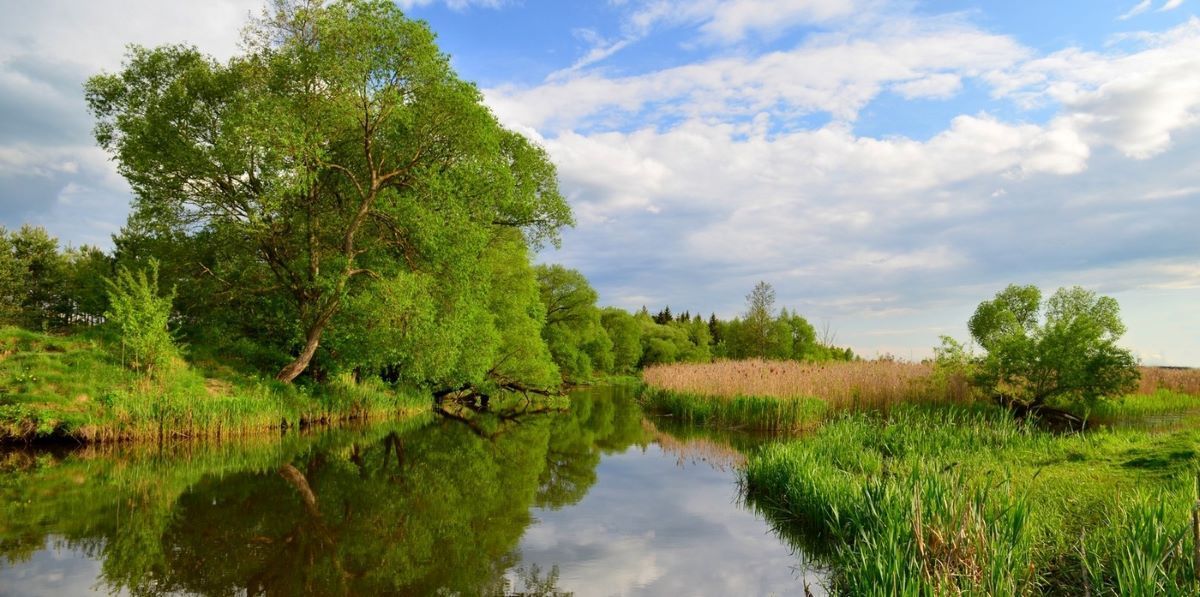
“Blue-eyed” Belarus? Yes, indeed
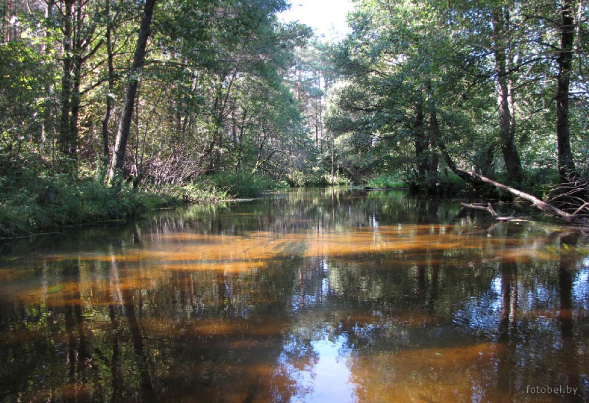
There are over 20,800 watercourses of various sizes with a total length of 90,600 km in Belarus. Of these, 7 large ones stand out which stretch over 500 km: the Western Dvina, the Neman, the Viliya, the Dnieper, the Berezina, the Sozh, and the Pripyat. But it is the small rivers that form the basis of the river network of Belarus.
Small rivers are watercourses located in the same geographical area and having a length of no more than 100 km and a basin area within 1000-2000 km2.
In Belarus, there are 1,441 small rivers with a length of 10 to 100 km; their total length is 31,000 km.
The densest river areas are the northwest and northeast of Belarus. In the former case, rivers are part of the Neman basin, in the latter case, — of the Dnieper and Pripyat basins. Most of the river run-off (59%) is formed within the country (local run-off). The inflow of water from the territories of neighbouring states makes 41%.
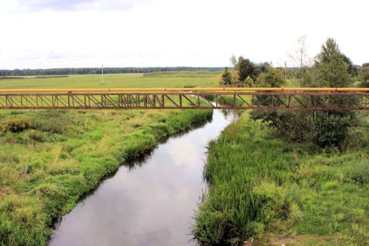
The river system in Belarus has been actively changed for agricultural purposes. As a result, today the length of canals and catch-waters is over 165,000 km.
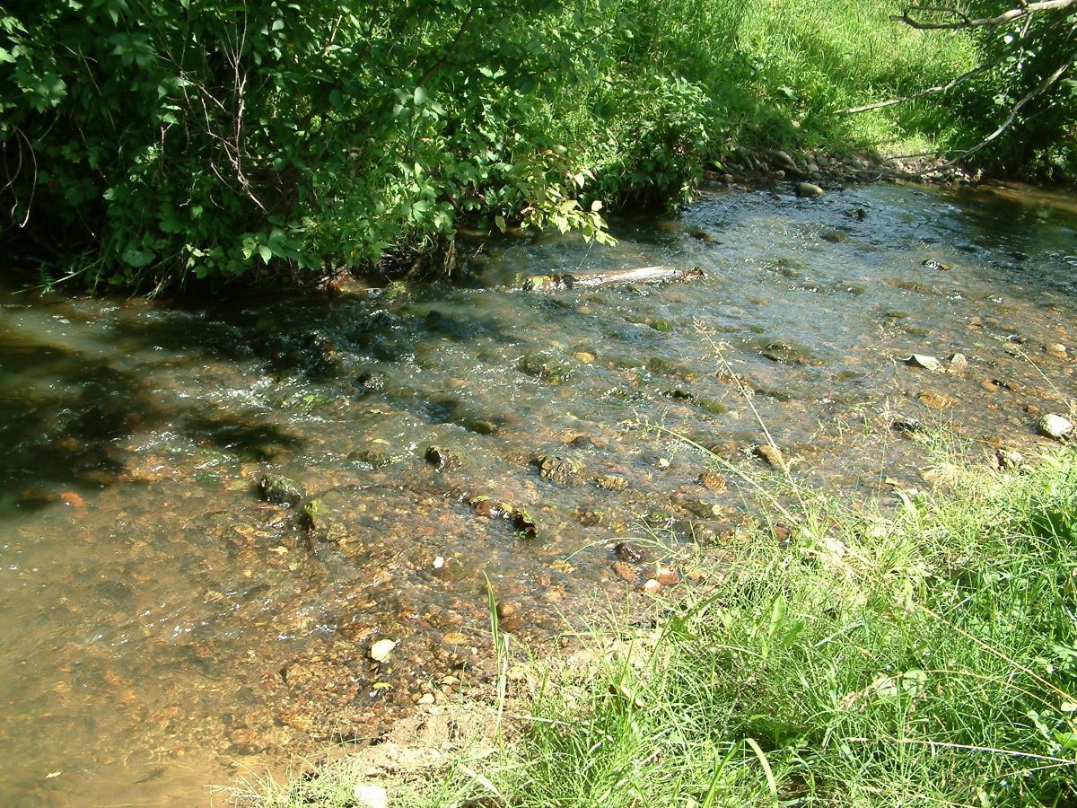
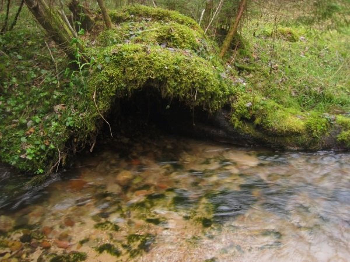
However, the condition of many small watercourses and water bodies is of serious concern to experts: the water level is falling, rivers are drying up, and canals are overgrown.
Qualitative monitoring of negative changes is not carried out, and initiatives that are meant to change things often create more obstacles in their activities than help. Environmental pollution and global climate change are only exacerbating the situation.
The cleanest and the most contaminated
Experts believe that in addition to isolated enterprises, one of the main causes of pollution of small rivers in Belarus is run-off from fields in the form of remains of fertilisers and chemicals.
The worst situation is observed in the basins of the Western Bug, Dnieper and Pripyat.
According to the Ministry of Natural Resources and Environment Protection, the cleanest rivers in Belarus, both large and small, are:
• The Neman, running north of the town of Stolbtsy (about 20 km away, in the vicinity of the Mir Castle);• The Svisloch (near the village of Sukhaya Dolina, 30 km from Grodno);• The Besed near Svetilovichi (around Belynichi, Mogilev region);• The Iput (a tributary of the Sozh, Mogilev and Gomel regions);• The Pripyat south of Pinsk;• The Sluch (a tributary of the Pripyat, about the same location).
The most polluted rivers:
• The Yaselda south and north of Beryoza (Brest region);• The Svisloch (in the south-east of Minsk, near Korolishchevichi);• The Loshitsa in Minsk;• The Plisa in the area of Zhodino (Dnieper basin);• The Usha south of Molodechno (Neman basin);• The Moroch near Yaskovichi (tributary of the clean Sluch, south of Soligorsk);• The Mukhavets in the Kobrin area;• The Western Bug near Rechitsa, Novosyolki and Tomashovka;• The Lesnaya Pravaya at Kamenyuki (near Belovezhskaya Pushcha, also flows through Poland);• The Rudavka (Western Bug basin, a couple of dozen kilometres from the Polish border);• The Goryn (Pripyat basin, flows through Belarus and Ukraine).
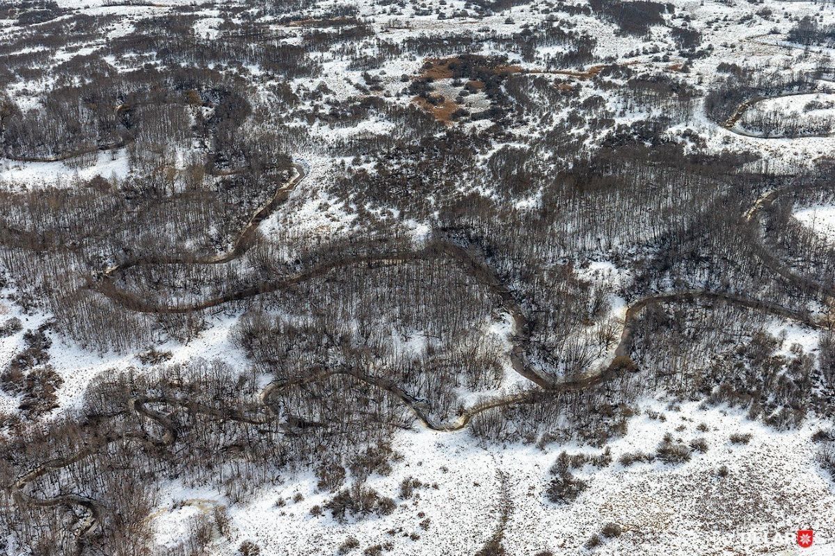
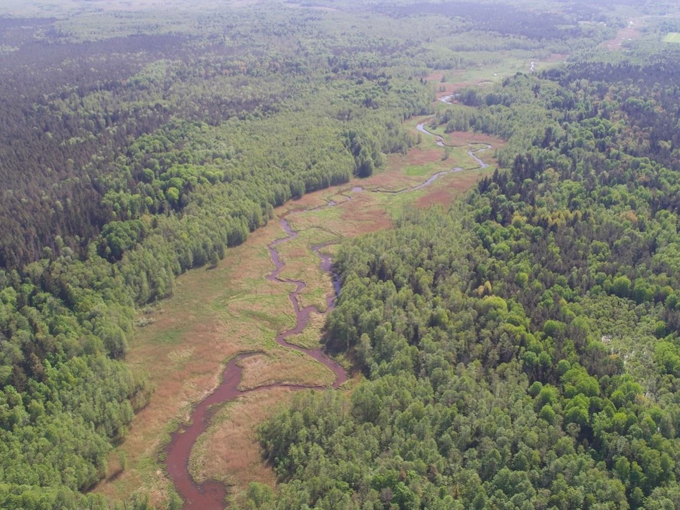
The ragged wandered but there was swamp all around
One of the main causes for the drying up of small rivers in Belarus is human activity. Their condition was especially affected by land reclamation. The first large plan for draining swamps and rivers in the Polesia, for example, was designed and implemented at the end of the 19th century under the guidance of specialists headed by General of infantry, surveyor Iosif Zhilinsky. But land reclamation went full-swing in the Brest and Gomel region in the post-war BSSR, as a result of which over 2 million hectares were drained. Gigantomania and the pursuit of records have transformed the measures necessary in many places to improve agricultural activities or lay transportation lines into a destructive attack on the environment. When implementing planned activities, a thorough impact assessment was not always carried out, it was important to produce a result there and then. But the discharge of water from swamps by deep ditches led to a decrease in the groundwater level, changes in water, atmospheric and thermal regimes in the drained territories. As a result, the composition of fauna and flora has also changed. The greatest effect could be observed on rivers and even in the wells of residents of adjacent territories: the water level dropped significantly and was not normalised in subsequent years.
Land reclamation specialists got the best results: they all made good money since the company was financed from Moscow instead of the republican budget. As long as there was enough water and the peat layer was thick, everything grew well. But over time, the peat under the cultivated crops was over, and sand grinned through. Rivers have become shallow, many have disappeared, some have turned into gutters. Because of this, fish, animals, birds connected to rivers disappeared, saying nothing of plants and invertebrates. The water level in the wells also decreased drastically. Climate change and the redistribution of precipitation caused local droughts.
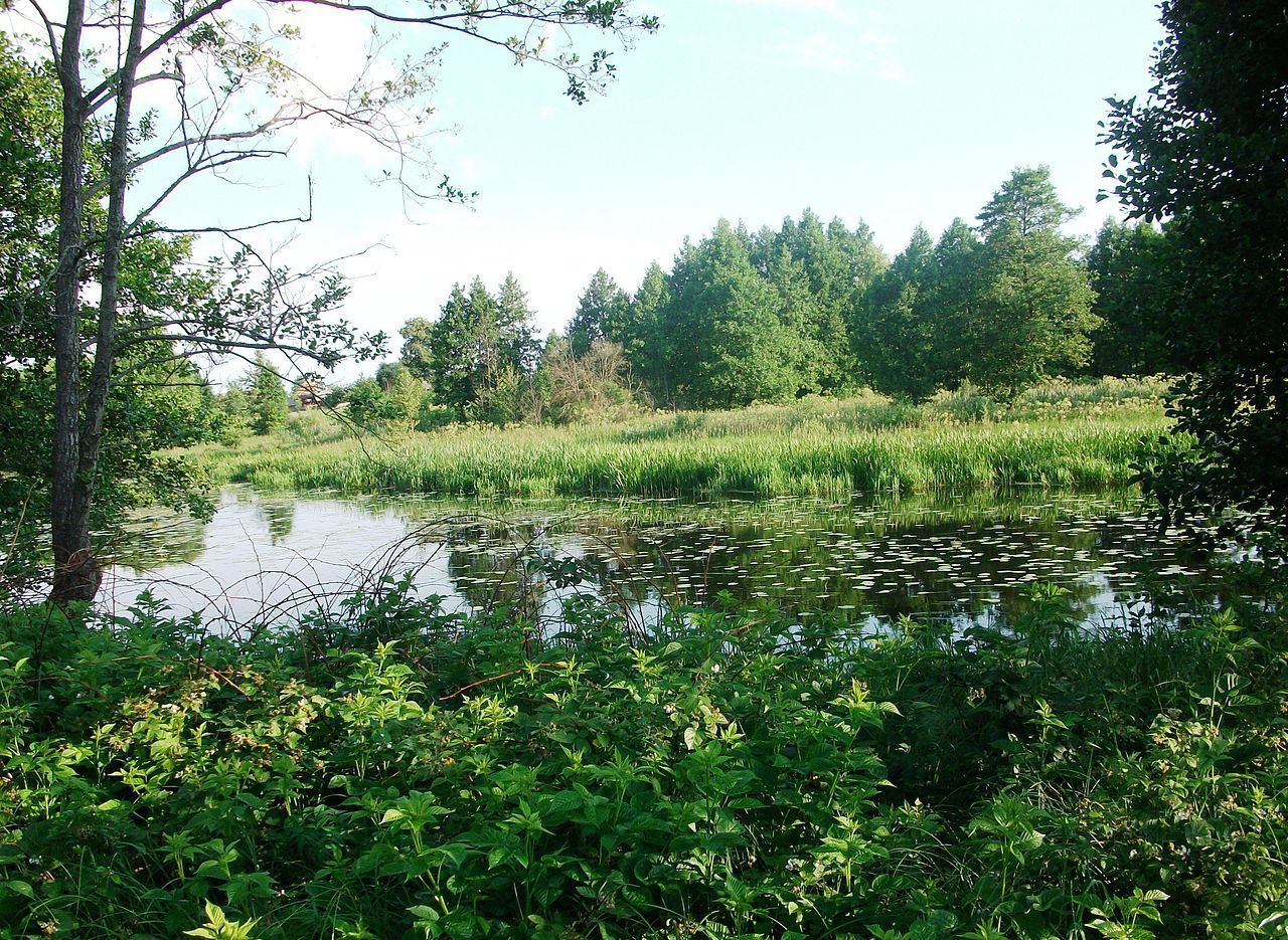
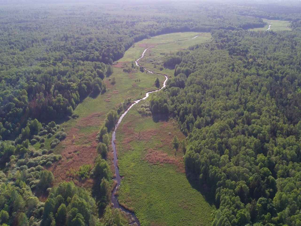
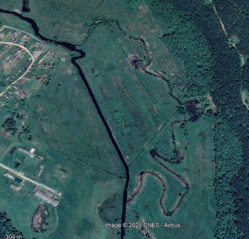
Giving a new life to the Narevka
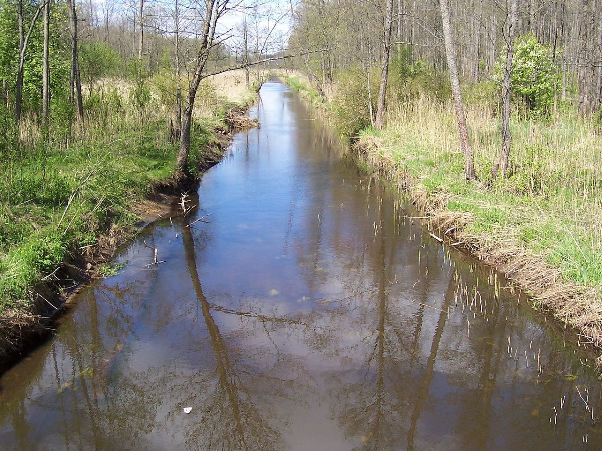
Part of the transformation was the alignment and regulation of rivers. A straight and deep watercourse discharges water faster in spring, drains floodplain fields and meadows better. It is easier to plough it later because large areas are open for cultivation. This is exactly what the authors of the planned transformations were guided by. But as a result of not always well-thought-out actions, the slope of new channels and the amount of run-off increased, which led to a decrease in the water level in them or even drying up. The alignment of rivers has reduced the rate of mixing and enrichment of water with oxygen, limited the dissolution of pollutants, reduced the number of biotopes, harmed plant and biological diversity.
According to a specialist in environmental issues who chose to remain anonymous, as long as the state has ownership of the land, it is still possible to restore the channels of small rivers or some of their sections by centralised actions.
For example, the APB-Birdlife Belarus plans to restore a section of the Narevka in the Belarusian part of Belovezhskaya Pushcha. This is not the first Belarusian river to be returned to its natural course, but the first where large-scale work will be needed.
In Belovezhskaya Pushcha, the small Solomenka River has already been returned to the old channel, as well as other small watercourses. But Narevka is a medium-size river, and this project has cross-border significance. Its implementation will return water to wild and artificial ecosystems, change the local microclimate, create living conditions for birds, animals and fish. In light of the impending deterioration of the climate, this must be done urgently.
Where does the water flow?
The state of water resources in Belarus is monitored by the Central Research Institute for Integrated Use of Water Resources. In the data they publish annually, one can find information about how many water sources there are in the country.
- Despite the increase in precipitation in 2017-2018, there is a noticeable drop in the number of available water resources. Thus, in 2020, they amounted to 38.1 km3. The data for 2021 has not been summed up yet. During the summer of 2021, an average of 241 mm of precipitation fell in Belarus, which is 104% of the climatic norm of the summer season. The corresponding data for autumn is 101%. But taking into account the forecast of meteorologists about the cold winter of 2021-2022 with a shortage of precipitation, a significant increase in water resources in the country is hardly possible.
In 2017-2019, the Research Institute conducted an inventory of the country’s water bodies. According to its results, negative changes were recorded in each district. Thus, the worst situation with small rivers and springs is observed in the Gomel and Brest regions. Large rivers are also getting shorter: even the length of the Neman has decreased by 11 km.
“Of course, the state of small rivers has changed a lot. Even during one human life. When I was young, we could not imagine buying bottled drinking water! And now, for many, this is a daily reality,” says Natalia Porechina, a specialist in sustainable water resources management, head of the River Monitoring programme.
To develop goals and methods for improving the situation with water resources, a Strategy for Managing Water Resources in the Context of Climate Change 2030 was developed. This is a comprehensive document defining the trends in the state’s activities for the protection and use of fresh water in the next decade. It is updated and corrected by the Central Research Institute every 10 years at the commission of the Ministry of Natural Resources.
All the goals presented in it are divided into several groups: water resources and the impact of climate change on them; economic environment; health; monitoring of groundwater and surface waters; land use and landscapes; biodiversity; social environment, and cultural heritage. Among the goals are the restoration of at least 15% of disturbed peatlands and the preservation of 7 billion cubic meters of freshwater for the sustainable development of rivers and lakes. This is planned to be achieved by several actions, including the modernisation of drainage and irrigation systems in agriculture. Local and republican authorities should implement the planned actions.
But environmentalists, even at the stage of discussing the draft document, made many comments and additions to its contents. Thus, it was proposed to modernise reclamation systems from drainage to water-regulating ones, as well as to change the methodology of water assessment to consider all components of the water balance, and not just the average river run-off.
The environmental community also submitted its comments to this document and the report on determining the scope of the strategic environmental assessment in 2020. Experts noted the primary course on the exploitation of natural resources in the strategy. The potential of swamps and small rivers, issues of pollution and protection of water bodies were hardly taken into account.
Currently, the document is undergoing the procedure of re-approval with the interested republican public administration bodies and other organisations before its submission for government approval.
Hydropower plants are a waste of money
The Belarusian authorities do not give up dreams of building new hydropower plants. At the same time, most experts agree that hydropower on plain rivers brings only losses.
As we have already mentioned, there are 51 hydropower plants in Belarus now. Whether there will be more of them, time will tell, but the launch of the Ostrovets NPP at full capacity will call into question the existence even of operating hydropower plants. When excess electricity is nowhere to be used, the construction of new such facilities will simply be a waste of money.
In addition to financial losses, hydropower plants harm the river ecosystem and increase water evaporation due to the construction of large reservoirs. The migration of fish becomes several times more difficult.
Returning Baltic salmon to Belarus
There are initiatives in the country calling for the restoration of the former biodiversity on small watercourses lost as a result of the construction of dams. Thus, the participants of the project “Preservation of Migratory Baltic Salmon in the Rivers of Belarus” are trying to increase the population of this fish species in the Viliya and its tributaries.
“In our project, the main thing is to keep the rivers in such a state that salmon have access to them and can go to spawn. They spend half their lives in the sea, another half — in the rivers. For their population in Belarus not to disappear altogether, we need to return that possibility for them,” says Nina Polutskaya, leader of the project for the preservation of migratory Baltic salmon in Belarus.
Specific measures are being taken to achieve this: riverbeds are being put in order, beaver dams are being dismantled, there is an anti-poacher patrol, regular scientific monitoring of salmon is carried out. These measures are effective: there is a positive trend towards an increase in the number of the fish on the mentioned rivers.
At the same time, the Belarusian authorities did not even take up the issue of monitoring the state of salmon in the country.
“We have the Ministry of Natural RESOURCES and Environmental Protection! We first need resources, we will send money to where we can get some goods from. And what’s the product here? Just preservation of an important type of fish,” Nina Polutskaya states.
“Baltic salmon used to spawn in the Ostrovets district, but the damming of large rivers led to the fact that this species remained only in the tributaries of the Viliya,” says Aleksander Doroshevich, coordinator of the Green Watch initiative for the Ostrovets district.
According to him, fish from the Neman used to reach as far as Minsk, but with the construction of a hydropower station near Grodno without fish-ways, the river lost its wealth.
“It is worth noting that this fish is also eaten by white-tailed eagle and osprey. There are so many places where the eagle does not fly now because the fish does not get there,” he notes.
To be continued in the next part of the article…
Featured photo — svt.grodno.by
Bahna materials may only be reprinted with the written permission of the editorial board.